Emergency Stream Intervention
What is ESI?
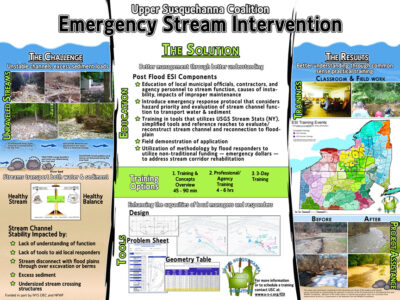 Emergency Stream Intervention (ESI) is a training program meant to be used to assess post-flooding conditions, decide where to and where not to work, and determine the correct approach needed to address problems under an emergency response condition. This program includes a training manual, resources needed for assessing stream and stream watersheds, and a series of training modules available as a pdf below, or as an online training session, currently under development.
Where did ESI Come From?
This program was initially developed through funding from the New York State Department of Environmental Conservation’s Water Quality Improvement Program, and in part through the Delaware County Soil and Water Conservation District Stream Management Program contract with the New York City Department of Environmental Protection’s Bureau of Water Supply. Subsequent edits were made to this manual by DEC to facilitate its use state-wide.
ESI Online Resources
NYS DEC webpage for Post-Flood Stream Contacts across New York State
NYS DEC webpage for Post-Flood Stream Reconstruction Guidelines and Best Practices
NYS DEC link to Post-Flood Emergency Stream Intervention Training Manual
NYS DEC link to Post-Flood Emergency Stream Intervention Training Manual Appendices
ESI Bank Full Hydraulic Geometry Tables
NYS DEC quick guide to ESI “What to do and not do after a major storm“
Post-Flood Emergency Stream Intervention Training powerpoint pdf
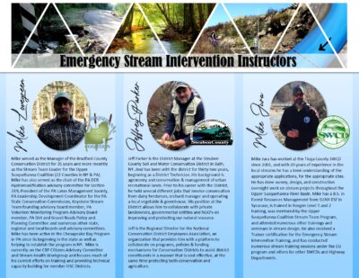 USC Stream Team ESI educators present seven training modules including the following content:
Session 1: ESI Introduction and Stream Mechanics
Session 2: Stream Instability
Session 3: Unstable Channels and Flood Response
Session 4: Channel Sizing and Examples
Session 5: De-watering and Project Sites
Session 6: Bioengineering and Hydraulic Structures
Session 7: Virtual Field Training Session
View them below or on our ESI Virtual Training youtube playlist
ESI Session 1
ESI Session 2
ESI Session 3
ESI Session 4
ESI Session 5
ESI Session 6
ESI Session 7
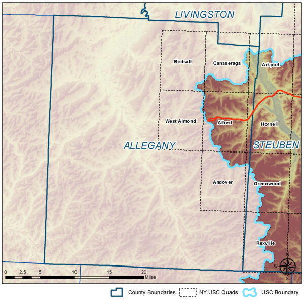
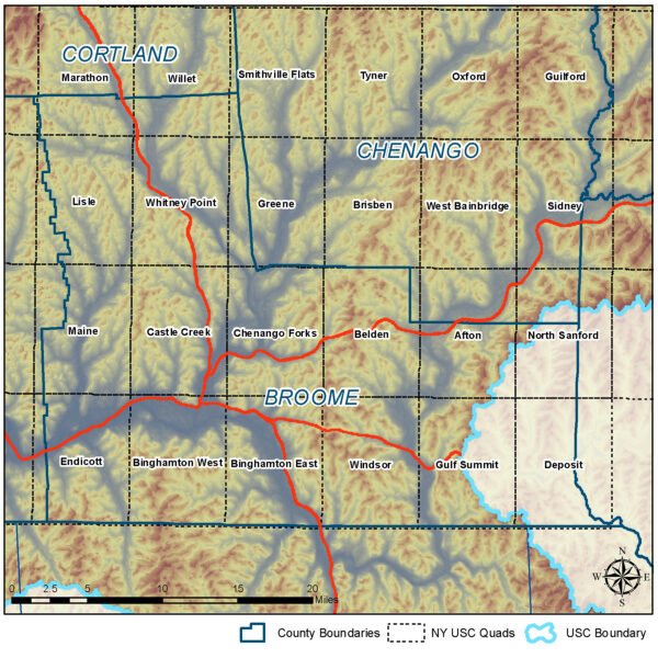
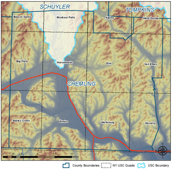
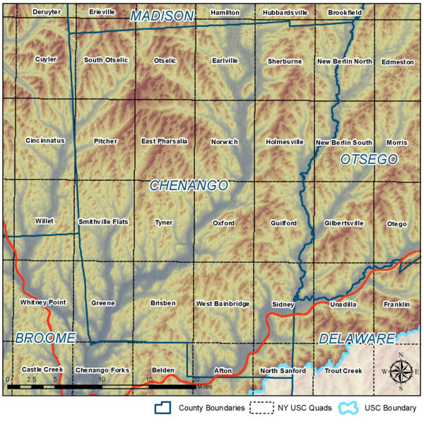
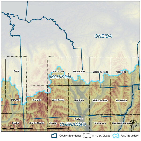
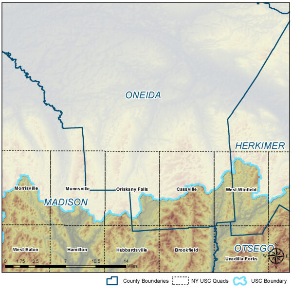
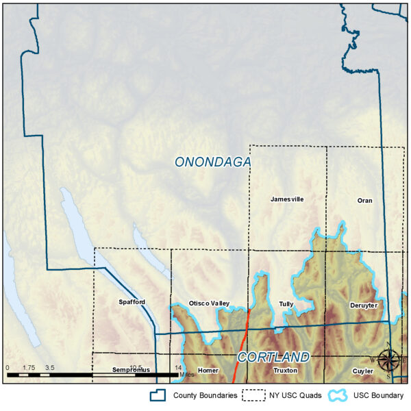
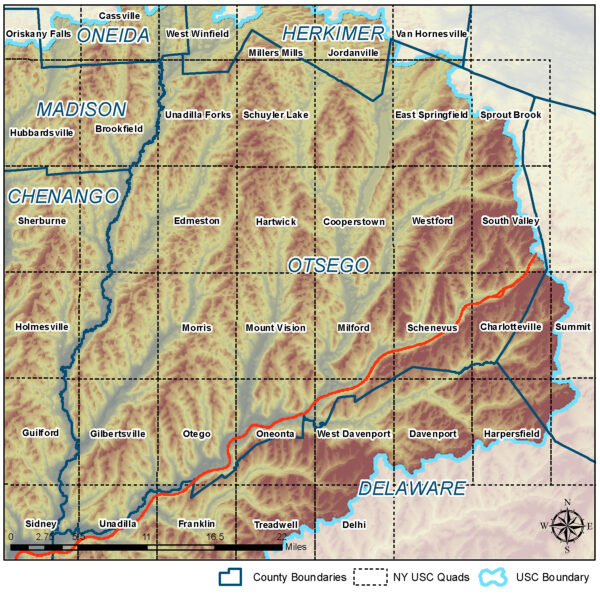
Static Drainage Area Maps for the Upper Susquehanna Coalition Watershed
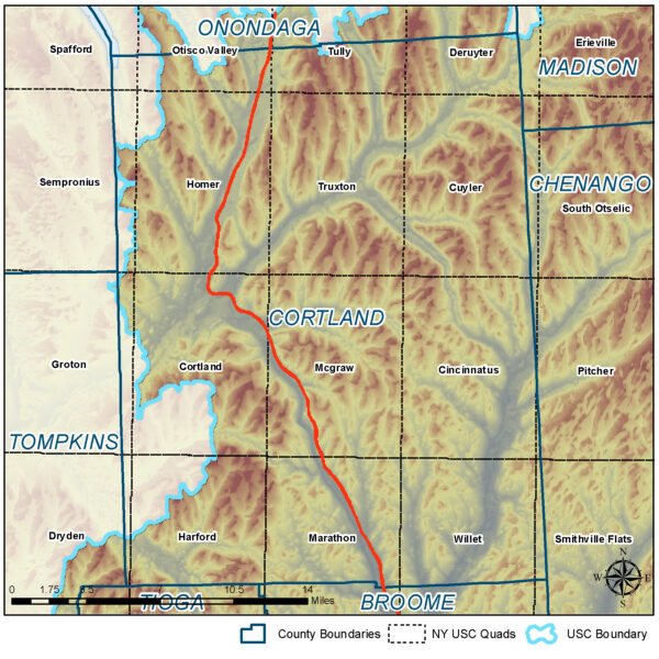
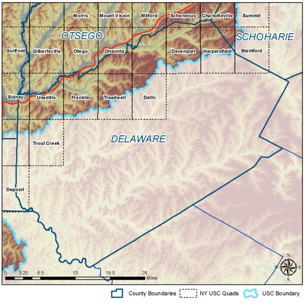
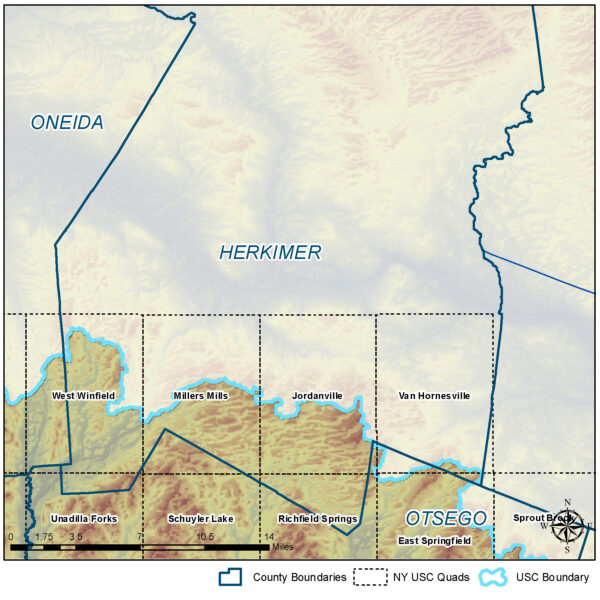
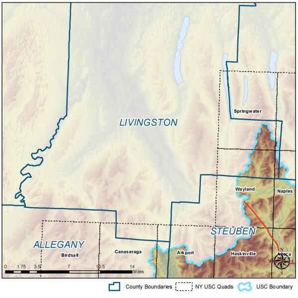
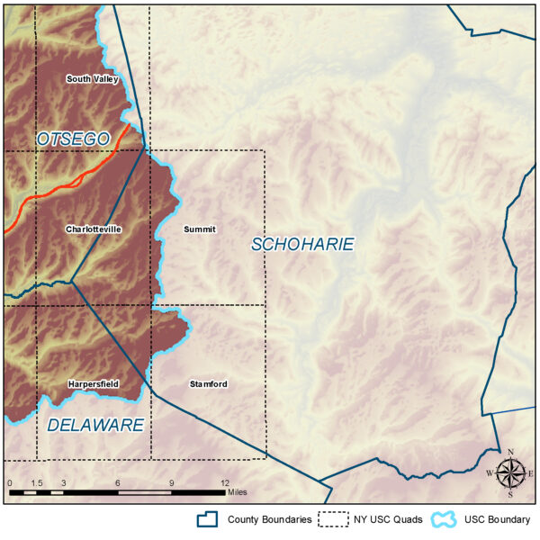
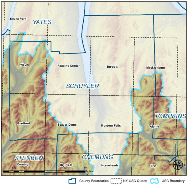
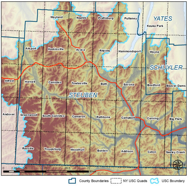
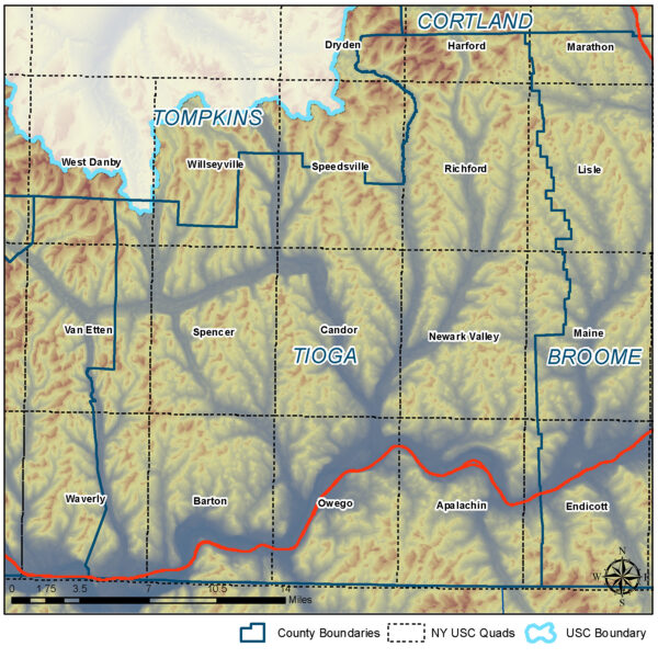
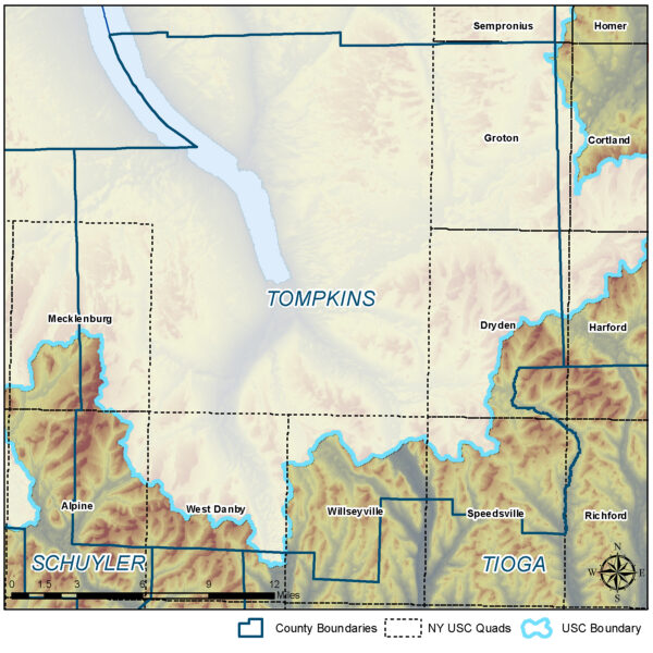
The following maps of each topo quad in the New York portion of the watershed were developed by NYS DEC for use in determining drainage area from any stream point. The quads are sorted by county as follows.
Back to USC Stream Team webpage

