Project Objectives:
- Community decision makers and project funders can identify and implement cost effective floodplain and stream channel improvements that would have a positive impact on flooding and flooding impact reductions
- Community and Emergency Responders are knowledgeable of and utilize a stream clearance protocol for restoring stream transport of water and sediment after major storm events
- Create Watershed Communities that are knowledgeable of the functions of floodplains and makes land use and development decisions based on available information, science and socio-economic impacts
Deliverables:
Work with 7 watersheds and their communities to:
- reduce stream channel nutrient and sediment contributions through the survey, identification, design and implementation of practices and projects on 7,000+ feet of stream corridor;
- build local capacity through direct education and technical assistance to local governments; improve stream health and habitat on 2,500 feet of stream channel; and
- establish and strengthen local, regional, state and federal partnerships in the ongoing management of stream corridors.
Project Overview:
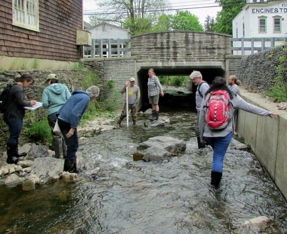
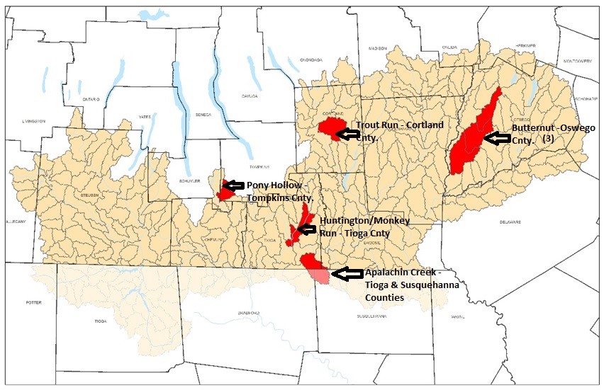
The I-4 project funded by the National Fish and Wildlife Foundation was completed in 2018. A total of 7 watersheds were assessed through four counties including Cortland, Otsego, Tioga, and Tompkins County. Districts, working with their communities and watershed organization partners, developed a background report that included an exhaustive literature search of physical and social aspect of the watershed, conducted a physical assessment of the blue line streams in the watershed, identified potential projects and coordinated with watershed communities on restoration, management, and educational projects. Through this project, over a quarter of a million dollars were leveraged to begin addressing identified needs.
Project Details
DATE:
January 2016 to December 2018
FUNDING PARTNER:
National Fish & Wildlife Foundation (NFWF)
Cortland County Soil & Water Conservation District
Otsego County Conservation Soil & Water Conservation District
Tompkins County Soil & Water Conservation District
Tioga County Soil & Water Conservation District
WATERSHEDS:
Apalachin Creek, Tioga County
Butternut Creek (3 reaches), Otego County
Huntington Creek, Tioga County
Pony Hollow Creek, Tomkins County
Trout Brook, Cortland County
PARTNERS:
Cortland County Soil & Water Conservation District
Otsego County Conservation Soil & Water Conservation District
Tompkins County Soil & Water Conservation District
Tioga County Soil & Water Conservation District
Binghamton State University of NY
Butternut Valley Alliance
Otsego Land Trust
Otsego County Conservation Association
SUNY Oneonta
SUNY ESF
SUNY Cortland


